
Weather Alert: Severe thunderstorms and heavy rain expected across parts of South Africa
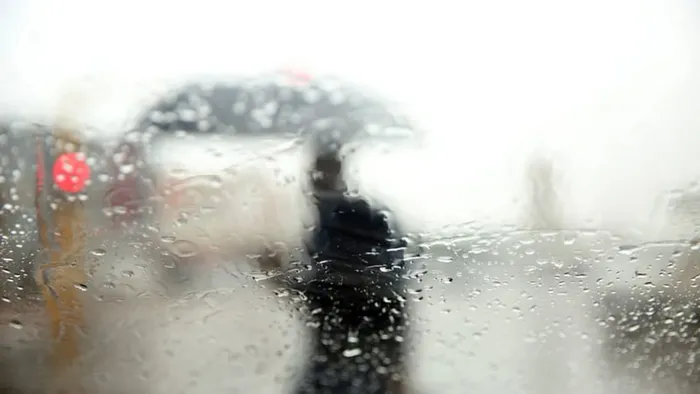
Rain clouds gather over South Africa as weather warnings are issued for disruptive rainfall in KwaZulu-Natal and severe thunderstorms in central regions.
Image: Doctor Ngcobo/Independent Media
Rain is sweeping across large parts of South Africa this week, with the South African Weather Service (SAWS) issuing multiple warnings for disruptive rainfall and severe thunderstorms.
On Tuesday, April 29, isolated to scattered showers are expected across the eastern and western parts of the country. The heaviest rainfall is forecast for the eastern Lowveld and the KwaZulu-Natal coast, where a 60% chance of showers is predicted.
Areas like Mbombela, Ermelo, and Richards Bay may experience persistent rainfall through the day, while scattered showers are also expected in parts of Limpopo.
The central and western interior, including Bloemfontein, Kimberley, and Johannesburg, is expected to remain dry with no rainfall predicted.
A Yellow Level 2 warning for disruptive rainfall has been issued for the northeastern coast of KwaZulu-Natal, especially around Richards Bay.
The weather service warns of localised flooding of roads and informal settlements, difficult driving conditions, and potential damage to infrastructure. Meanwhile, isolated showers are expected over parts of the Western and Northern Cape, including Vredendal and Sutherland.
Conditions will intensify further on Wednesday, April 30. A large swathe of the central and southern interior will be affected by widespread and scattered rainfall.
Areas including Graaff-Reinet, Oudtshoorn, Beaufort West, and parts of the Eastern Cape can expect up to an 80% chance of rain.
The Western Cape will also experience more rain, particularly over the Overberg and Garden Route regions, while lighter rainfall is anticipated along the coastal areas of KwaZulu-Natal during the early morning hours.
Wednesday also brings an additional layer of concern, with a Yellow Level 1 warning issued for severe thunderstorms over the central parts of the Northern Cape and southern Free State.
The public should prepare for heavy downpours, possible localised flooding, damaging winds, hail, and frequent lightning.
The weather service has urged residents to remain alert, avoid low-lying bridges, and secure outdoor items that could be damaged by strong gusts.
While the north and northeast are expected to remain dry on Wednesday, the southern half of the country will experience significant rainfall activity, raising concerns for both travel and agriculture.
With multiple regions on alert, South Africans are advised to monitor updates and take the necessary precautions.
IOL News